Sherpa Van transfers your luggage whilst you walk the UK’s long distance footpaths.
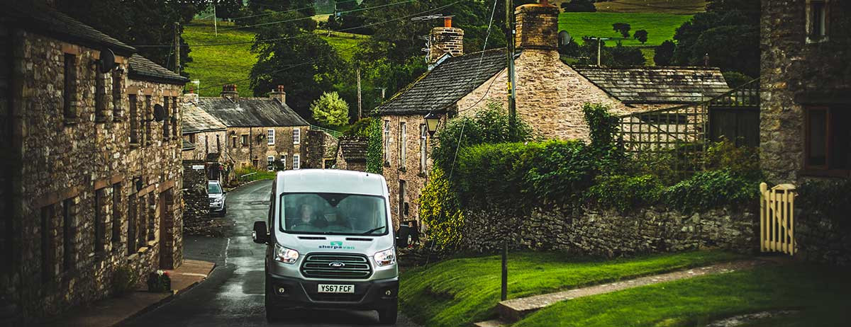
Sherpa Van is a well-established luggage moving service that covers many of the UK’s major walking and cycling routes. All you have to do is build your itinerary, and we’ll do all the hard work.
Cross England on this iconic 192 mile route stretching across three national parks, originated by the celebrated walker and writer, Alfred Wainwright.
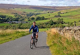
Cycle from the lighthouse at the port of Whitehaven on the Irish Sea coast to the lighthouse at Sunderland on the shores of the North Sea.
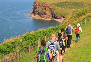
Rich in historical interest, the Cleveland Way encompasses 110 miles of rolling moorlands, dramatic cliffs and sandy beaches.
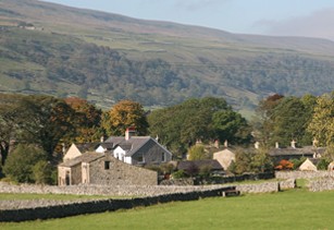
From Bath to Chipping Campden, the Cotswolds are the epitome of picturesque English countryside and traditional villages.
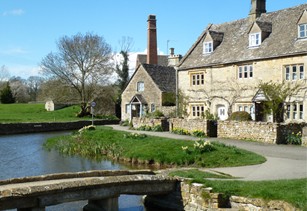
Walking through many picturesque villages from the beautiful Cotswold town of Chipping Campden to the World Heritage City of Bath.
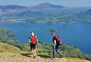
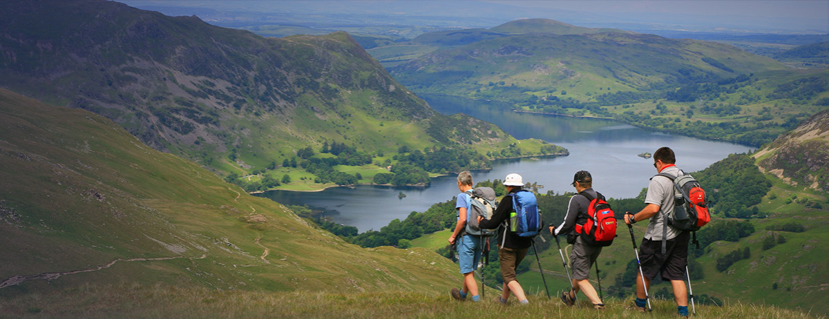
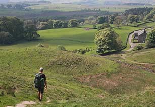
A walk through the heart of the Lake District, one of England’s most famous, romantic and beautiful areas.
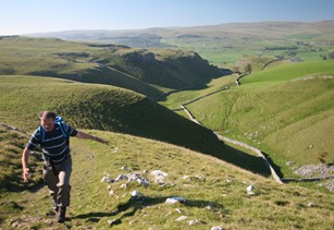
A challenging route across the high country of the Yorkshire Dales, following the old packhorse road trade routes.
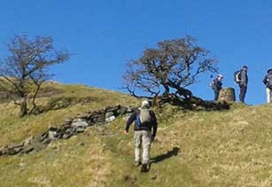
This much-loved long-distance path runs right across the Yorkshire Dales National Park, walking north from Ilkley to Bowness and Windermere.
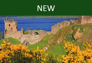
Cycle the lochs from Coast to Coast across Scotland. Follow the Caledonian Canal, pass Neptune's Staircase via Fort Augustus to Inverness.
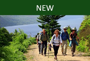
Follow undulating forest tracks along the shores of Loch Ness and walk through a mixture of farmland, exposed high moorlands and woodland.
Starting in Bowness on Solway, this walking route takes you on the reverse route of Hadrian's Wall West, and finishes in Wallsend.
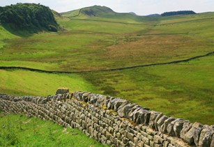
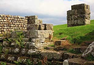
Starting in Wallsend, Hadrian’s Wall is the most important monument built by the Romans in Britain.
A circular walking tour in four stages, visiting the places where celebrated vet James Herriot lived and worked.
A 100 mile walk passing through the beautiful Yorkshire Dales and on to Cumbria and the delights of the Eden Valley.
The first official National Trail to be created in the UK – 268 miles of heathlands, limestone cliffs and challenging, high peaks.
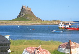
Traverse more than 100 miles of unspoiled countryside, from the Scottish borders to the island of Lindisfarne in Northumberland.
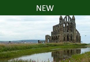
St Hilda’s Way is a 43 mile walking trail across the North York moors to Whitby that takes in the churches inspired by the seventh-century saint.
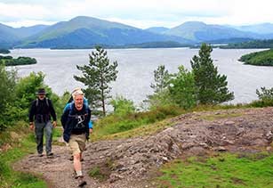
A National Trail through the Scottish Highlands, via Loch Lomond, to the mountain valleys at the foot of Ben Nevis.